Wianamatta (Western Sydney Aerotropolis)

A huge opportunity across time and scale, the Aerotropolis master plan will shape sustainable urban form for this new city, and change the future of Western Sydney.

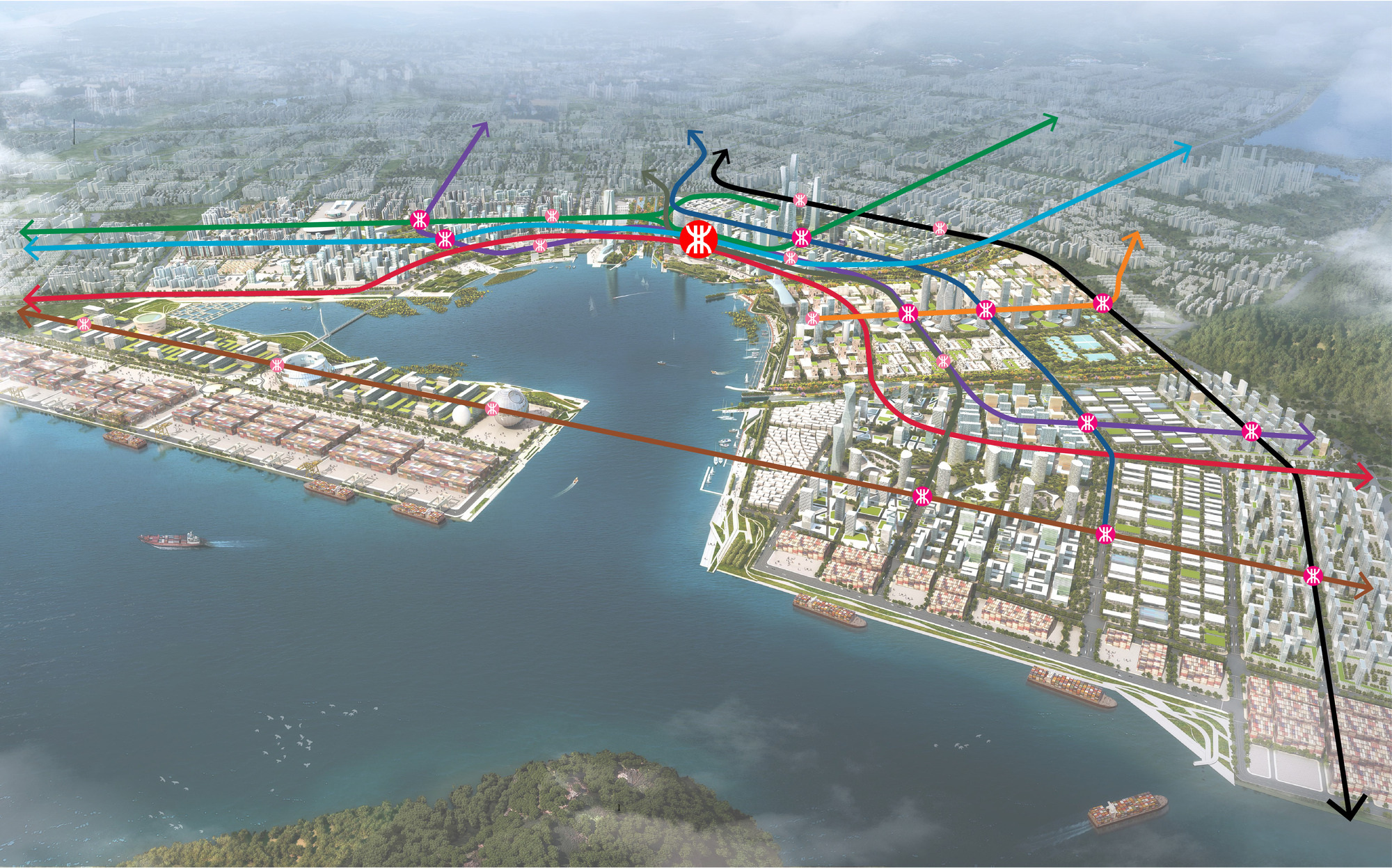
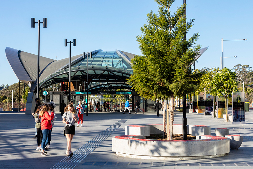
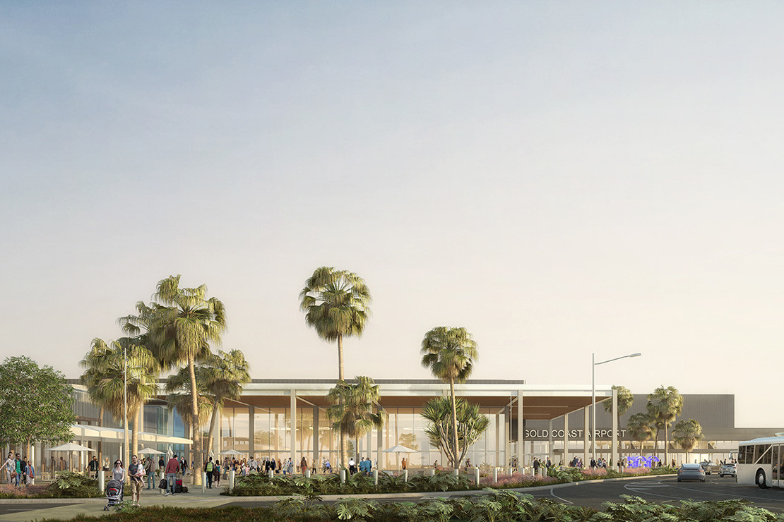
Converging on the new Western Sydney International (Nancy-Bird Walton) Airport and connected by the Sydney Metro Western Sydney Airport Line, this new city will be home to 50,000 new residents in Sydney’s growing Western Parkland City region.

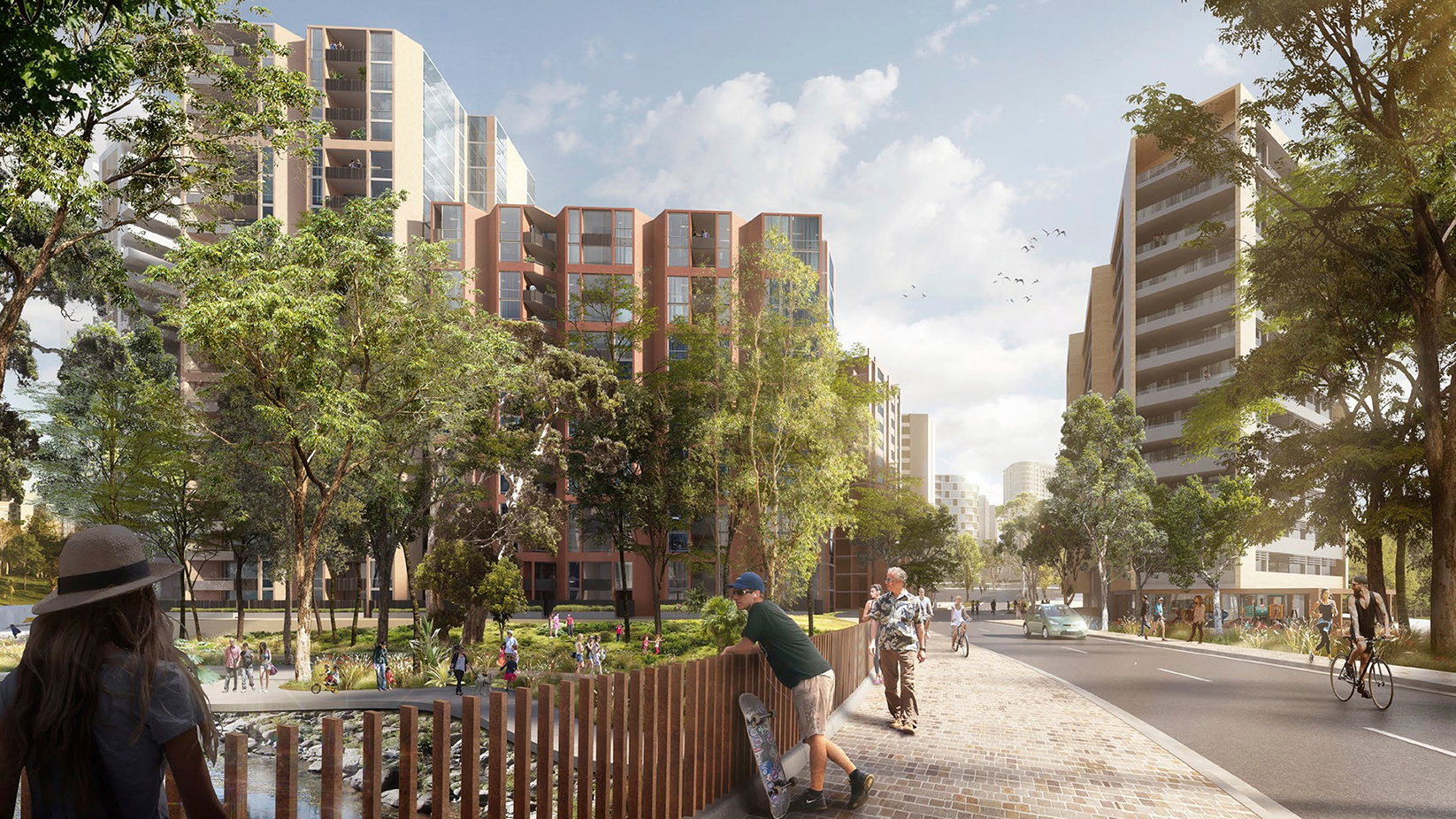
Aerotropolis represents a new way of planning and designing cities — one that’s even more critical given the increasing challenges of climate change. Our vision is to establish a sustainable, liveable and prosperous city grounded in the principles of Design with Country and landscape-led urbanism, which we define as a way of working with existing topography and waterways to retain, connect and enhance critical ecological systems alongside the urban environment.

With water as the key driver for the project — the region is home to Wianamatta, the longest freshwater stream in Greater Sydney — we designed detailed plans for three of the city’s five precincts: Aerotropolis Core, Badgerys Creek and Wianamatta-South Creek. In partnership with Studio Hollenstein and Hill Thalis (who designed the remaining precincts), we also delivered the overarching urban design, landscape and public realm framework for the city.

Intensive engagement with stakeholders, government, First Nation Australians and the community led to the development of a robust master plan for the next 100 years. 

Client

New South Wales Department of Planning, Industry and Environment (Western Sydney Planning Partnership)

Location

Dharug Country
Wianamatta, Western Sydney

Status

Completed

Year

2022

Scale

6,500 ha

Collaborators

Djinjama、Hill Thalis、Studio Hollenstein

Design team

David Tickle, Scott Davies, Jana Hyskova, Chris Kelly, Alex Thurkettle

The urban design and landscape of the Aerotropolis plan is underpinned by Country — specifically water, landscape, topography, soil, heritage and culture.

>95% of new homes will be located within
400 metres of public open space
>40% Tree canopy cover compared to 21%
canopy coverage for Greater Sydney
>90 ha of native vegetation retained across the
Aerotropolis core and Badgerys Creek

We designed Aerotropolis as a resilient city, ready to respond to the unexpected and the inevitable, from extremely hot summers and bush fires to severe storm events and flooding. It’s also an opportunity to showcase regenerative development principles, meaning Aerotropolis aims to put more back into the environment, the economy and community than it takes out. 

Sustainable highlights include:

  • Water: The traditional impact of development is that water is pushed into a regional stormwater network, which can cause potential flash flooding, erosion, and ecological disruption. By keeping waterways in their natural place, we enhance the ecology of Wianamatta-South Creek and the entire region. This helps mitigate the damaging effects of severe storm events and flooding — and keeping soil moist is fundamental to the whole cooling of the city.
  • Green streets: In response to the rise of extremely hot summers and bush fires, green, tree-lined streets improve the liveability, urban cooling and sustainability outcomes of the city, while also emphasising Western Sydney’s character. The master plan works with natural systems to really shape place by arranging street and urban patterns to visually and physically connect with high and low points of topography as well as vegetation and existing waterways. 
  • Designing for Country: Both flora and fauna related to this site are now critically vulnerable. This new city is co-designed with First Nations Australians in Western Sydney to include spaces where the local community can share culture and knowledge and continue to care for Country. Their voices are guiding the design of the city and informing all the objectives of the greater plan.
  • Landscape-led urbanism: We’ve embedded both landscape and waterscape in the urban master plan by using existing waterways as a structuring system for each precinct. We’ve also protected ridgetops and creek lines as open space providing visual connection between sky, vegetation, land form and landscape.
  • Circular economy: Aerotropolis is designed around a circular economy where all elements are created to be reused and the aim during development is zero waste. For example, material from existing local quarries is being re-utilised to build the region’s metro stations.

This site uses cookies to offer you a better browsing experience. Find out more on how we use cookies and how you can change your settings.